
BLOG
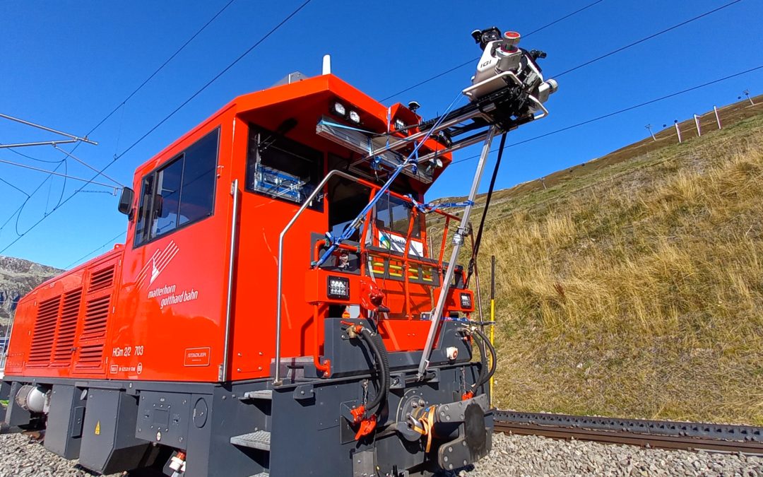
Track survey of the Matterhorn Gotthard Bahn (MG Bahn) – Computation of free space gauges
The entire networkof te Matterhorn Gotthard Bahn (MG Bahn), from Zermatt to Disentis, as well as the section between Andermatt and Göschenen, which is about 150km long, was surveyed in October 2021 using our Mobile Laser Scanning system (MLS).
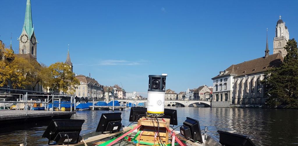
Mobile Mapping on water
Mobile mapping is not necessarily restricted to a terrestrial survey from a car or a train. Sometimes, the view from the water can be very useful,...

Public transport of Zurich (VBZ): 3D input of catenaries with mobile mapping
The context Until 2018, Zurich public transports (VBZ) handled their information about contact lines with CAD solutions. Within...
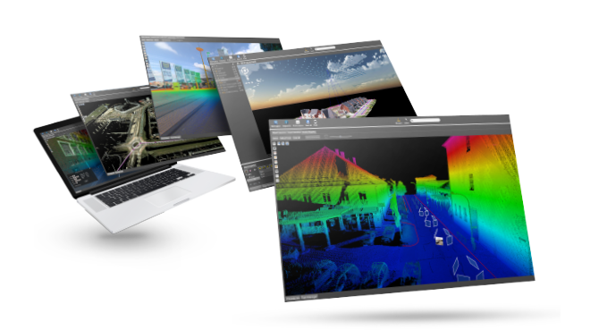
Web publication of 3D data
Mass 3D data (point clouds, digital elevation models, textured 3D models, BIM, orthophotos) have become essentials in many business sectors (Land...
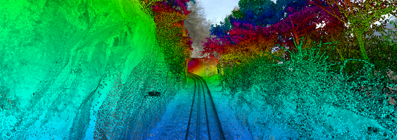
Mobile mapping on rails
Mobile mapping is a solution of choice for an efficient and accurate input of every element of a railroad network. Image and...