Computation of free space gauges on rail

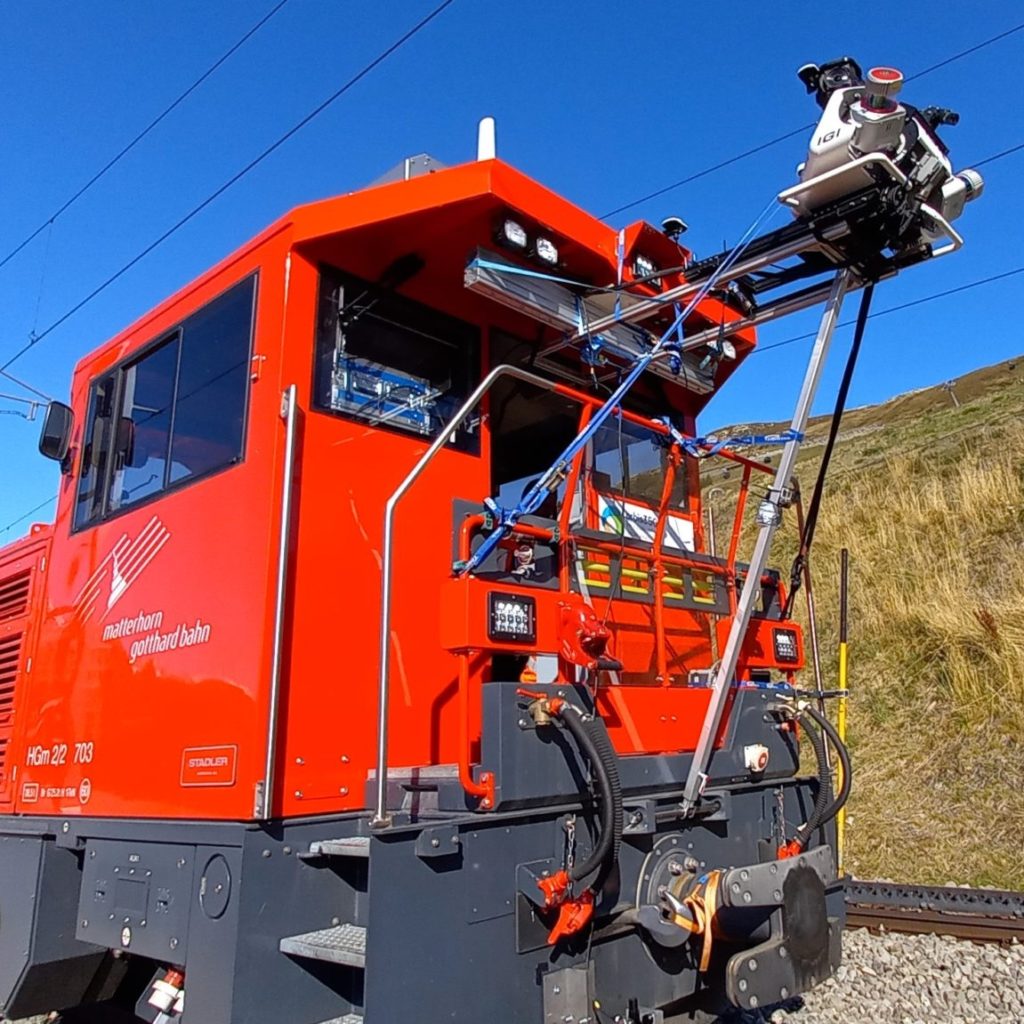
The entire network of the Matterhorn Gotthard Bahn (MG Bahn), from Zermatt to Disentis, as well as the section between Andermatt and Göschenen, which is about 150km long, was surveyed in October 2021 using our Mobile Laser Scanning system (MLS). This system provides a very high density point cloud coupled with georeferenced panoramic images of the track and its surroundings.
Mobile or drone mapping? Why not both?
Comparison of two digitisation methods: photogrammetric acquisition by drone and mobile mapping
Public transport of Zurich (VBZ): 3D input of catenaries with mobile mapping
Until 2018, Zurich public transports (VBZ) handled their information about contact lines with CAD solutions.
Within the scope of a project about renewal and homogenization of these dataset, the entire network (tram and trolleybus) needed to be re-surveyed in 3D and structured in database model in order to allow a future integration in GIS.
Mobile Mapping on water
Mobile mapping is not necessarily restricted to a terrestrial survey from a car or a train. Sometimes, the view from the water can be very useful, especially when we want a precise cartographic representation of the water’s sides, banks or under a bridge: a place that is simply not accessible from the ground. For this purpose, we can also install our 360° camera on a boat and acquire geo-referenced images directly from the water.
Mobile mapping on rails
Mobile mapping is a solution of choice for an efficient and accurate input of every element of a railroad network. Image and laser sensors combined in a mobile system usable on rails allows us to complete three major application:
Web publication of 3D data
Mass 3D data (point clouds, digital elevation models, textured 3D models, BIM, orthophotos) have become essentials in many business sectors (Land surveying, Geoinformatics, Architecture, Civil engineering, etc.) used as basic data for a multitude of applications. Less than a decade ago, creation of such data required expensive technologies (Airborne LiDAR and photogrammetry, Mobile mapping, terrestrial scan). Nowadays, for small stretches, this type of data can easily be captured by drone.


