The entire network of the Matterhorn Gotthard Bahn (MG Bahn), from Zermatt to Disentis, as well as the
Comparison of two digitisation methods: photogrammetric acquisition by drone and mobile mapping
Until 2018, Zurich public transports (VBZ) handled their information about contact lines with CAD solutions. Within the scope of
Mobile mapping is not necessarily restricted to a terrestrial survey from a car or a train. Sometimes, the
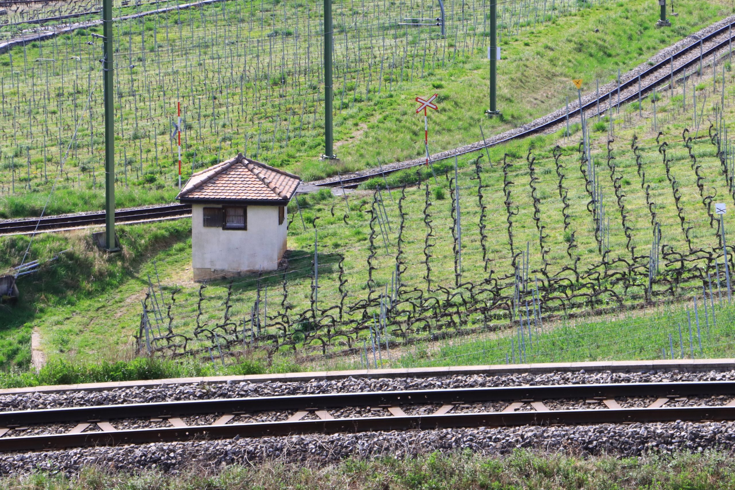
Mobile mapping is a solution of choice for an efficient and accurate input of every element of a
Mass 3D data (point clouds, digital elevation models, textured 3D models, BIM, orthophotos) have become essentials in many