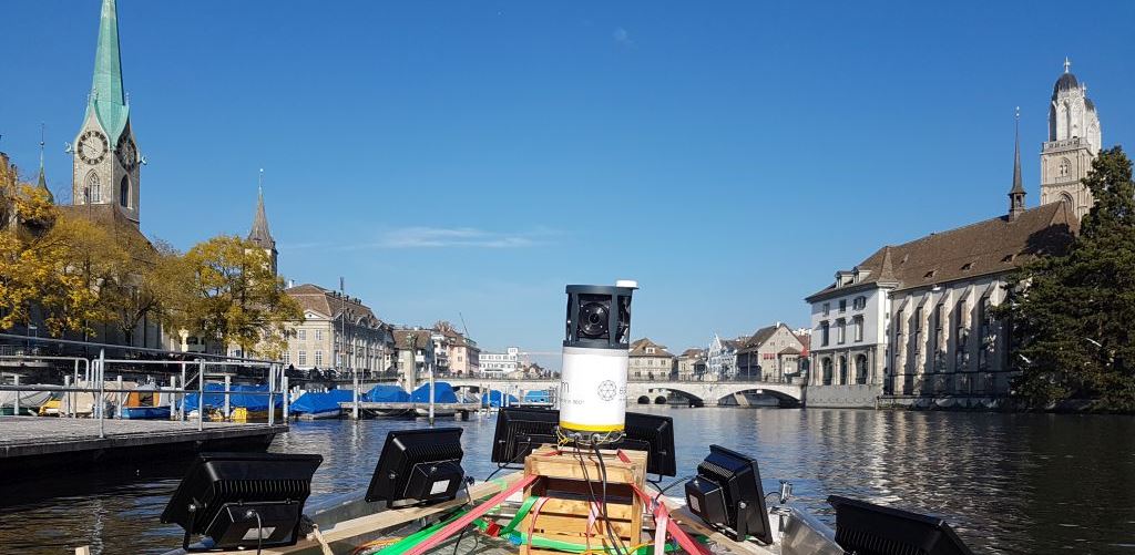
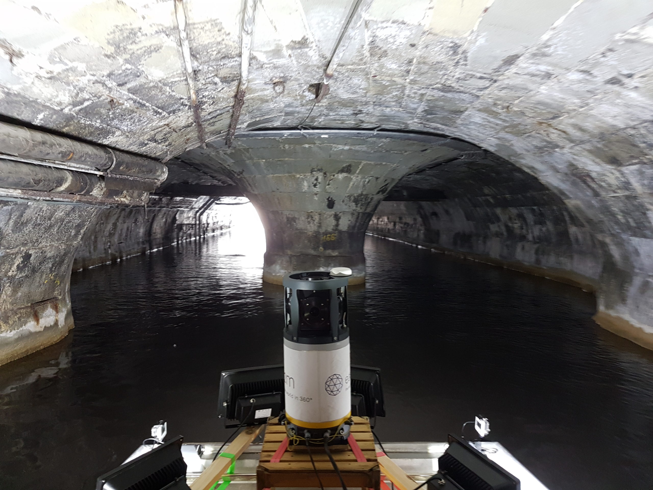
Mobile mapping is not necessarily restricted to a terrestrial survey from a car or a train. Sometimes, the view from the water can be very useful, especially when we want a precise cartographic representation of the water’s sides, banks or under a bridge: a place that is simply not accessible from the ground. For this purpose, we can also install our 360° camera on a boat and acquire geo-referenced images directly from the water.
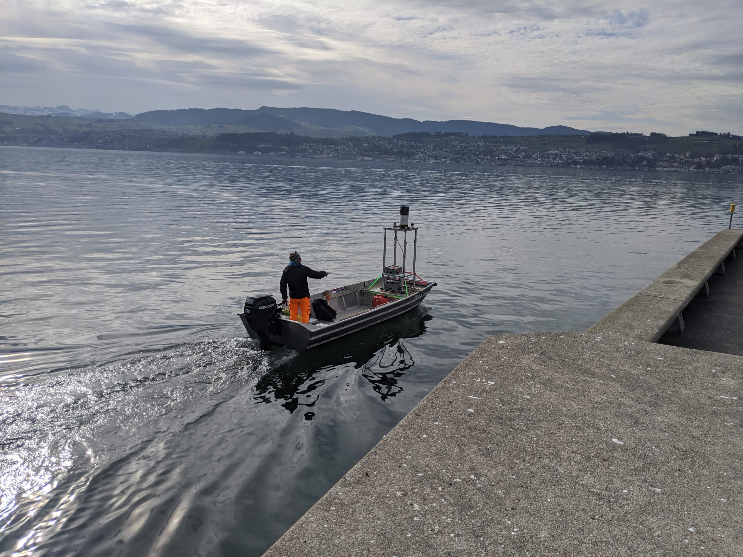
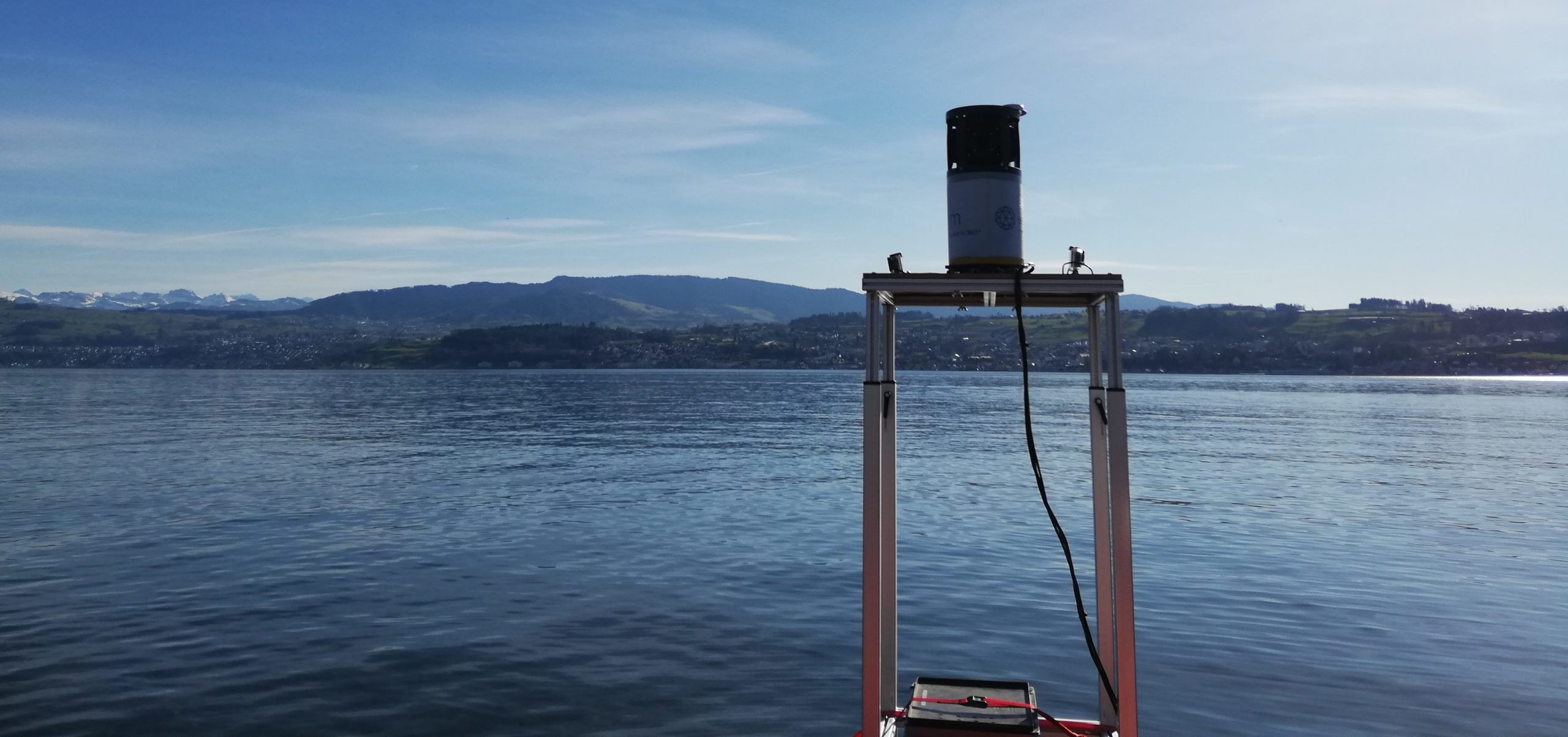
According to the waterway and its characteristics (depth, accessibility, flow), the kind of boat needs to be changed. Thanks to its compact size and light weight the measurement system can be deployed on any kind of boat, from the rubber dinghy to the big motorized boat. If needed, the boat can also be equipped with powerful lighting in order to guarantee the images’ good quality even under bridges (for example for surveillance surveying of constructions).