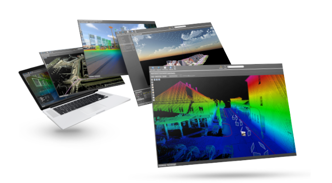
Mass 3D data (point clouds, digital elevation models, textured 3D models, BIM, orthophotos) have become essentials in many business sectors (Land surveying, Geoinformatics, Architecture, Civil engineering, etc.) used as basic data for a multitude of applications. Less than a decade ago, creation of such data required expensive technologies (Airborne LiDAR and photogrammetry, Mobile mapping, terrestrial scan). Nowadays, for small stretches, this type of data can easily be captured by drone.

Therefore, the need in softwares able to handle, display and use mass 3D data has increased. However, for many potential users, big volumes (storage/ data delivery), cost and complexity of such solutions are an obstacle to the use of 3D data. As a result, theses data are usually only used as “transitional” results by specializing firms in order to produce regular plan (CAD type) delivered to the final client. It implies that the initial survey quality is strongly damaged and the added value of such data is not visible any more.

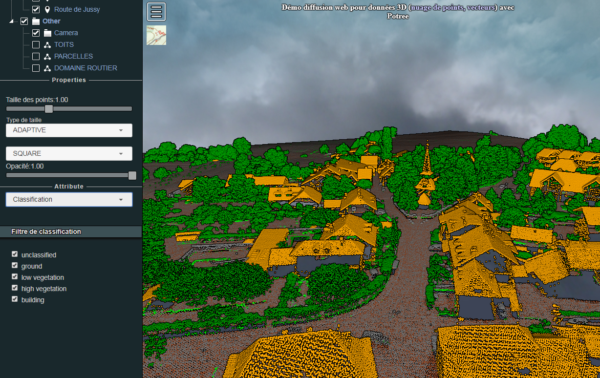
A possibility to solve this dilemma is to make those data available thanks to web services. Thereby, problems due to data’s storage and delivery, as well as the need for the user to install dedicated softwarecan be avoid. Moreover, such services allow an access to the data at all times thanks to internet connection.

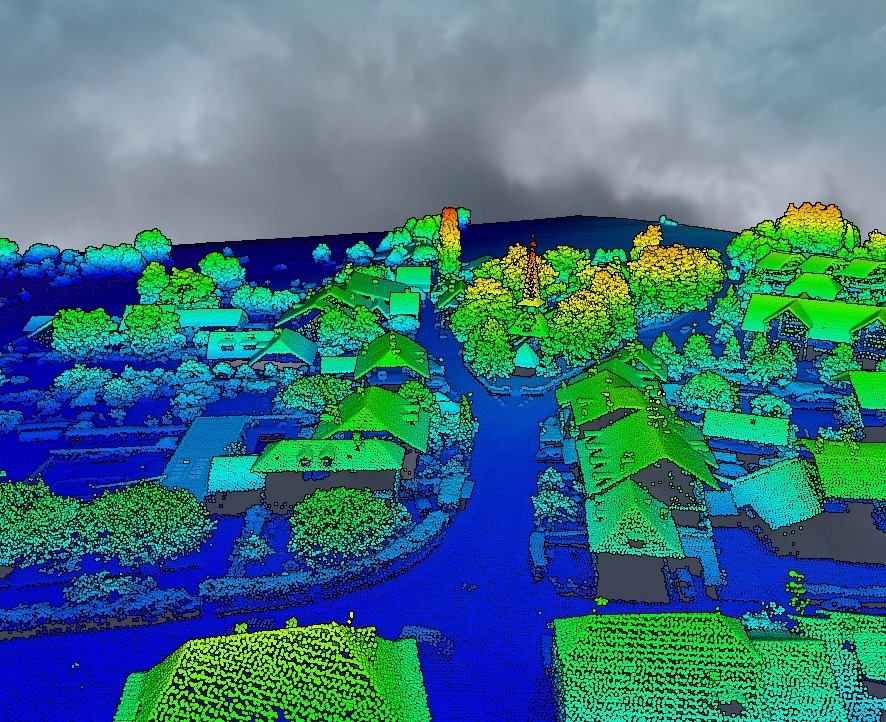
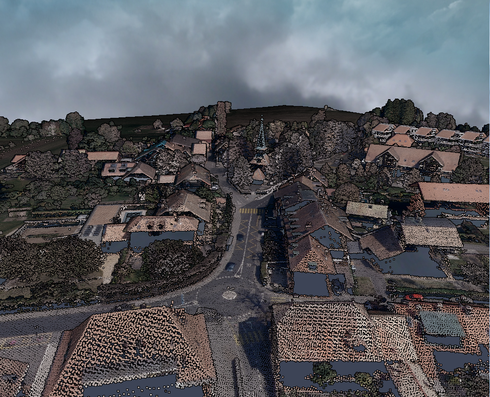
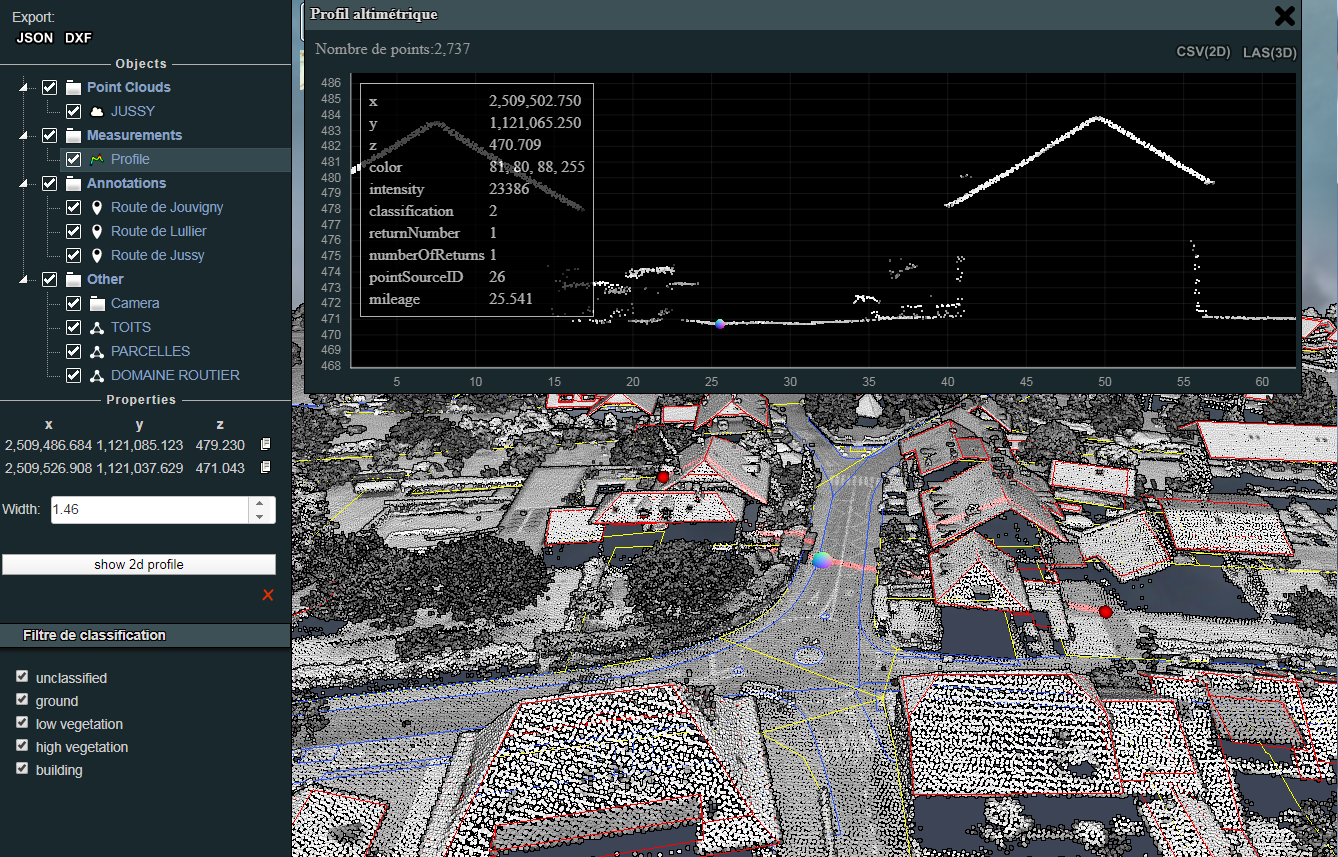
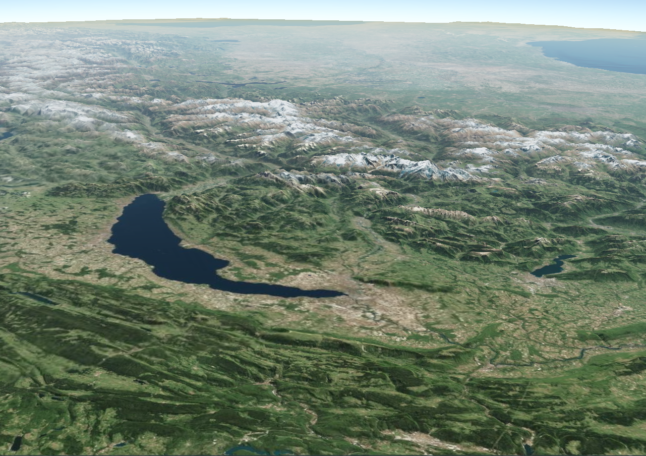
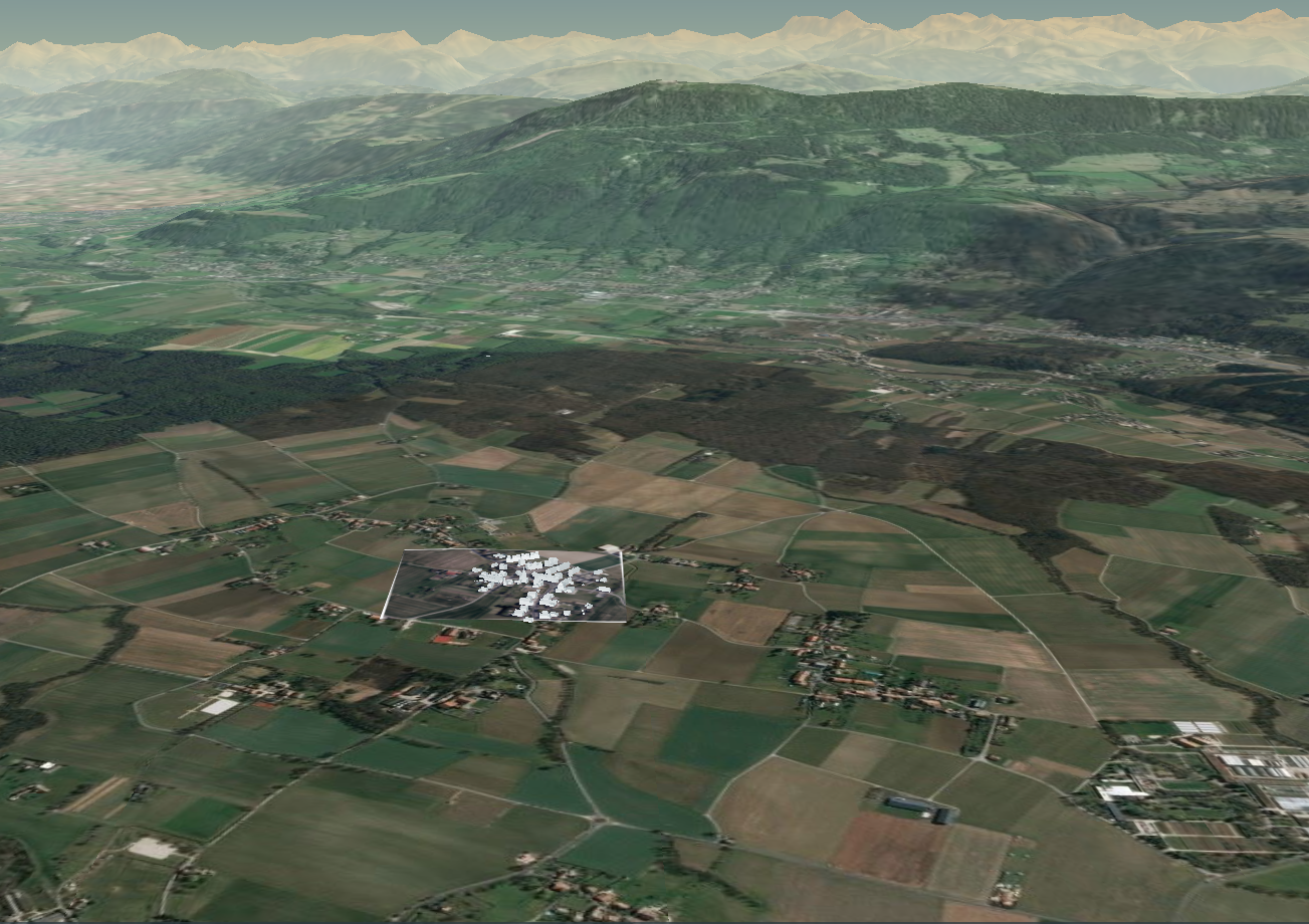
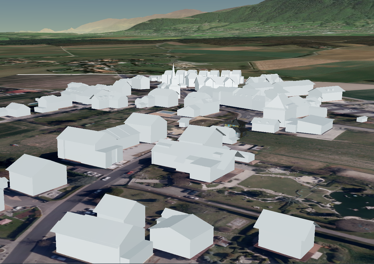
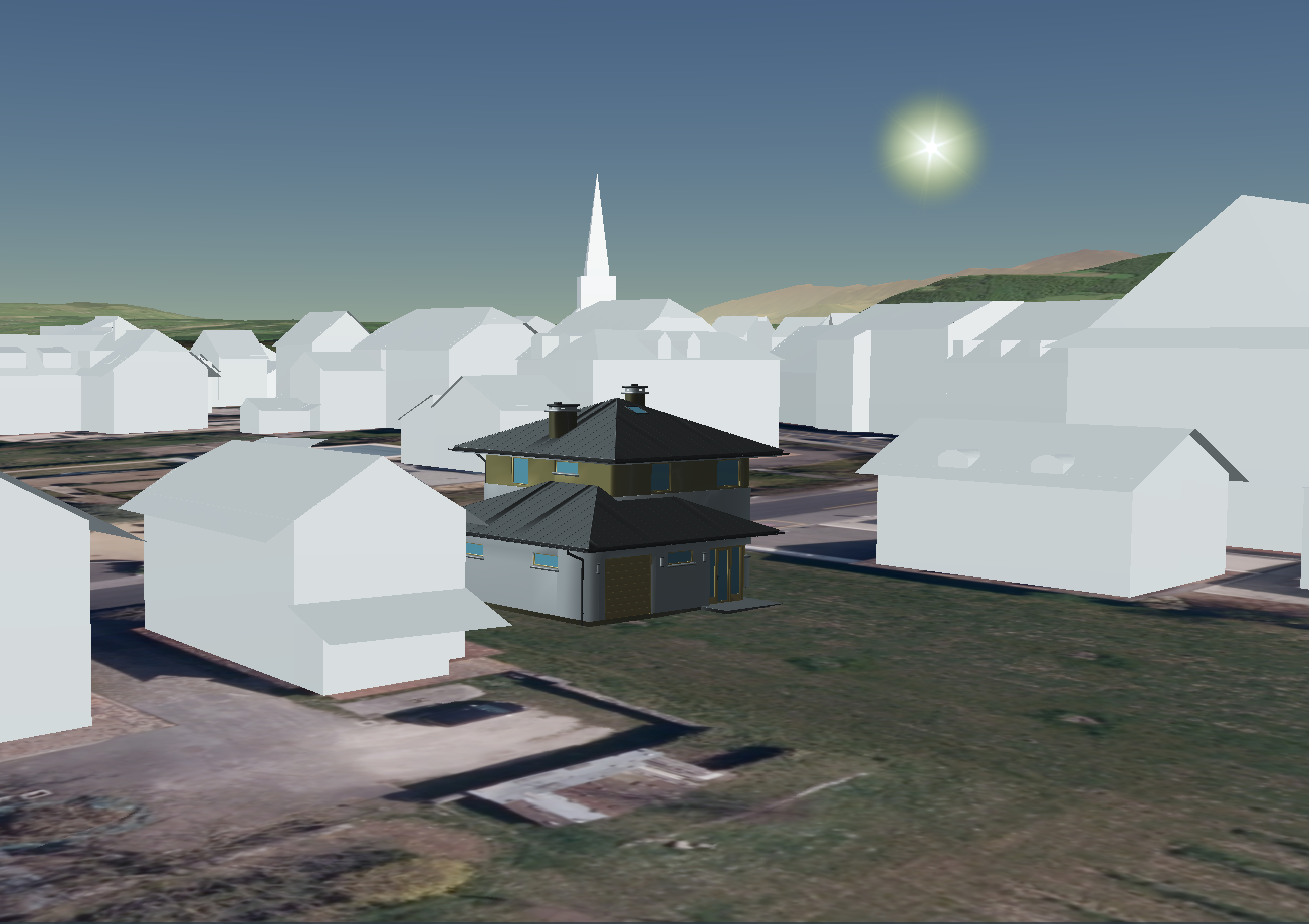
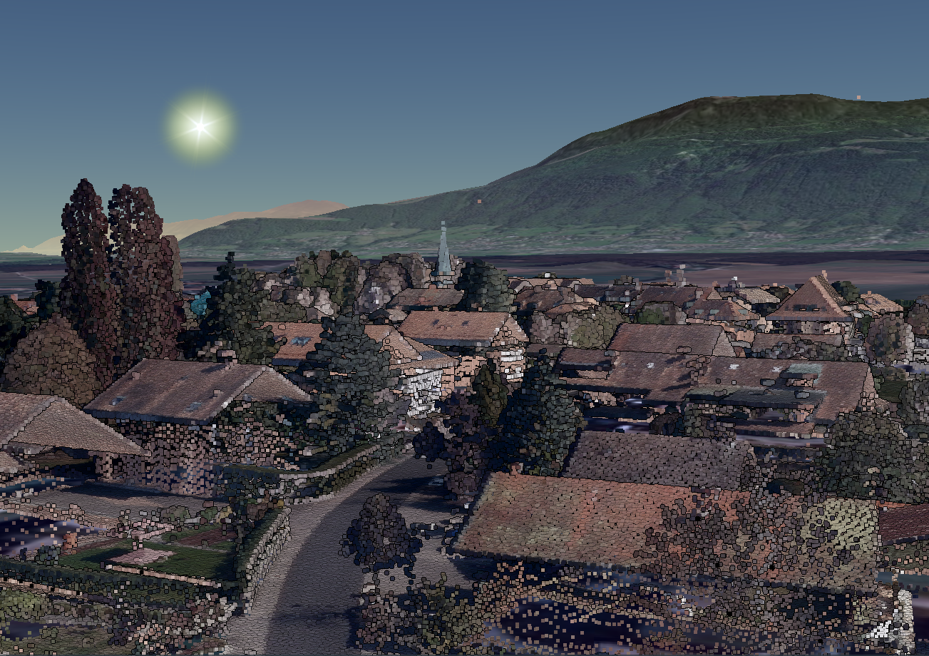
To demonstrate the potential of the service, this article introduces products from 3 suppliers (Potree, Cesium, Orbit) and shows their possibilities through a demo portal. For this demonstration, publicly available data were used (vectors and point clouds from SIT Genève, panoramic photos of Google StreetView).

Potree - brief description

Potree is an open source web viewer for point clouds based on WebGL technology. It allows to share, display and analyze voluminous 3D datasets. A point cloud can be colored, dynamically shown or hidden according to the chosen attributes. 3D measurements (Points, distances, poly-lines, volumes) can be made directly on the point cloud. Also, the possibility of making cross sections and exporting them in CSV or LAS format is given. .

Since the 1.6 version, Potree displays as well simple vectors data (lines, poly-lines, polygons). Those data can be opened in shape or geojson format and are shown as independent layers.

Publication demo access
Cesium - brief description

CesiumJS in an open source JavaScript library that allows to insert different type of 3D data (point clouds, 3D models, CityGML, BIM models, orthophotos) into a 3D virtual globe.

For a quick and efficient web finish, mass 3D datasets must first be converted into a 3dtiles format, either using a dedicated platform (Cesium ION) or spatializing software. Once the dataset in inserted into the virtual globe, it can be display in its global context. Making simples measures and control elements is possible.

Publication demo access
Orbit - brief description

The 3DM-Publisher from OrbitGT is a charged solution to broadcast 3D data based on WebGL and HTML5 technologies. It allows to share a multitude of data kinds such as images (360 images, plan and slanted images, orthophotos), point clouds, digital elevation models, vectors and 3D modellings (CityGML, textured mesh, etc..). It enables to reunite all kind of 3D datasets in one publication and make it available and possible for the user to display, browse, measure, annotate and export the results.

Before publishing, data are converted in optimized web format in order to guarantee smooth browsing and manipulation in line even for very voluminous datasets.

Thanks to pluginsavailable and free, web publication are accessible from different software (for example: QGIS, ESRI ArcMap, AutoDesk AutoCad Map). On top of that, SDK enables to configure the publication access as you wish to develop web portal designed based on the client’s need.

Publication demo access
Fonctions' comparative
 
Environment Potree Cesium OrbitGt
Hosting Server Server /Cloud Server /Cloud
Web technologie WebGL WebGL HTML5/WebGL
Licence Open Source Core Open source [1] Commercial
Interfaces
API/SDK
Plugins  [2]
Handled 3D data
Point cloud ()
Raster: Digital models
Raster: Orthophotos
Raster: Slanted/plan images
Raster: 360° Images
Vector: 3D models [3]
Vector: 3D geometry-[4]
Meshs textured
Display modifications
Change projection system
Show/hide layers
Show/hide with distances
Point cloud: color with attribute [5] (not according to classes)
Show/hide with class point
Vector: change color/thickness geometry
Measures
Point cloud: 3D Measures [6]
Point cloud: Cross sections
Images: Stéréo measures
Images: Mono measures
Export possibilities
3D-Measures (JSON)  (KML)
Point cloud: Cross section export (CSV / LAS)
Create annotations /Snapshots


[1] Commercial offer for hosting

[2] For QGIS, Autocad 3D, ESRI ArcMap among others

[3] BIM, CityGML,Gltf

[4] 3D Points, Lignes, Polygones

[5] Elevation, intensity, RGB, classification

[6] Points, Lignes, Surfaces

Which web service fits the best my needs ?

Potree - Share point clouds in all simplicity

Potree is suited to any 3D point cloud publication where no access restriction is required. By including simple vectors data, delivered data (such as profiles, contour lines, break lines) can be published in the cloud’s context. Thereby, this solution is perfect for many civil engineering, construction or environmental engineering projects. Few examples:

  • Quarry exploitation : Visualization of several exploitation states (excavated volumes) thanks to data acquisition by drone.
  • Road structure : Presentation of 3D crossed sections from a scan of the word captured by terrestrial scanning.
  • Construction : Cross sections and level map postings with a structured point cloud (classified by level).

Cesium - Your dataset on a virtual globe

CesiumJS is particularly suited to projects needing a more “global” context setting (earth positioning, neighbors, landscapes), but where precise measures in an wanted projections are not important. Display dataset in a virtual globe can be interesting for architectural, developing or urban planning projects or touristic promotion. Several possible applications :

  • New housing project’s planification : Presentation of variables in their context (Close landscape and existing constructions)
  • Tourism : 3D Visualization of a skiing area (ski lifts, cabins, slopes) directly on a virtual globe
  • Visibility analysis : Visibility restriction estimation after future or existing constructions.

Orbit - Web publication of all your 3D data

Orbit is a charged solution (depending on the number of access) for voluminous 3D dataset publication. It’s especially suited for institutional users who wish for a digital managing of their infrastructures and who know the number of potential users of the service. With interfacing possibilities (plugins/SDK), Orbit suits particularly well integration in existing processes. Possible applications are :

  • Municipality/town : 3D infrastructure managing thanks to an interfacing with existing GIS solution
  • Railroads transports firms : Publication of 3D data of the network to visualize/ inspect and capture elements (contact lines, free pattern contours, etc..)
  • Highway services : Highway network’s administration with web services adapted to the need (such as linear references, rapport generation, ect…)

We happily advise you during the analysis of your needs and the implementation of a tailored solution for the web publication of your 3D data